What the chimney costs you
Set your roof, put the chimney, the water tank and the neighbour's cypress where they actually stand, and drag the time. The shadow you see is traced against the real path of the sun for your district — not an illustration of one.
This is a model of the shade, not a quote. It knows the geometry you drew and the radiation measured for your district; it does not know your equipment, your wiring or the dust on the glass. Take the percentage, not the kilowatt-hours, as the answer.
Roof seen from above. Direct sunlight only: diffuse light from the sky is in the figures but not in the picture. Traced by the processor, as this browser has no WebGPU.
The sun is below the horizon at this hour.
The year
- Roof with nothing on it
- 0 kWh per kW a year
- Roof as you drew it
- 0 kWh per kW a year
- Shade takes
- 0%
Running the year…
The roof
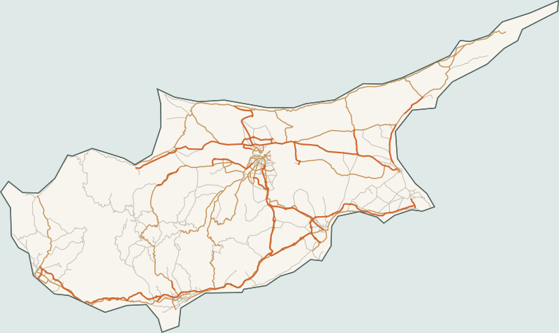
- Nicosia
- Limassol
- Larnaca
- Paphos
- Famagusta
What stands on the roof
Distances are measured from the middle of the roof: east is positive, north is positive. Heights are measured from the roof plane.
Nothing yet. An empty roof loses nothing, which is why the two figures above are equal.
Where the numbers come from
Radiation is the typical meteorological year from PVGIS, database PVGIS-SARAH3, built from 2005–2023 for the reference point Nicosia, 35.165 / 33.36. We requested it on August 8, 2026 and store it as it arrived.
The path of the sun is computed here, from the coordinates. Conversion into kilowatt-hours is calibrated against PVGIS's own output figures for the same point, and holds to 1% across nine combinations of tilt and orientation.